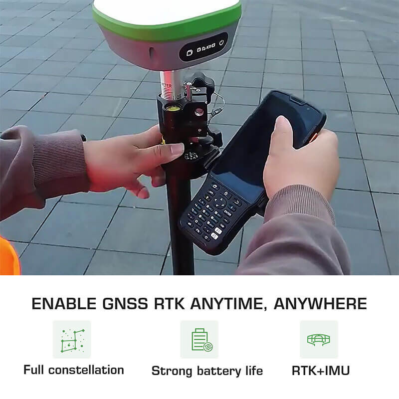
Introduction to RTK GNSS- IMU RTK GNSS RECEIVER

navigation system for tractor

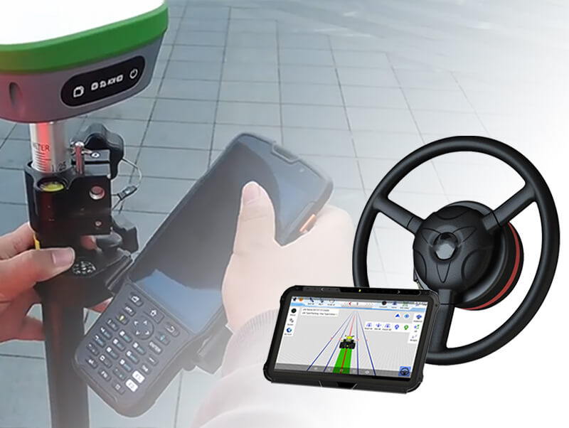
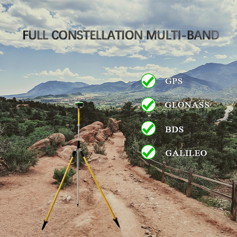
In addition to the use of navigation, the Global Navigation Satellite System (GNSS) has far-reaching impacts on a variety of industries, including agriculture, construction, and even archaeology. In this section, we are going to delve into the inner workings of both the GNSS techniques as well as the accompanying Real-Time Kinematic (RTK) approach. IMU RTK GNSS ... Read more

Technology in Surveying: Real-Time Kinematic (RTK) survey GPS

RTK survey

The use of RTK survey GPS equipment represents the leading edge of innovation in the surveying industry. This device makes use of a real-time kinematic (RTK) GPS, which enables it to pinpoint measurement and reference locations in a timely and accurate manner. RTK GPS survey equipment, such as SMAJAYU, does not need processing after the survey has been ... Read more

Interesting facts about precise agriculture- RTK auto steer system

surveying engineering

Real-time kinematic systems aren't exactly ground-breaking, but if you've done any study into precision agriculture technology, you've probably heard of them by now. In this post, we will cover the process of this technology as well as the potential benefits it might offer to your farm. RTK auto steer system What is RTK? Real-time kinematic (RTK) ... Read more

Need to learn about the  precision agriculture auto steer system

precision-agriculture-auto-steer-system

In recent times, the precision agriculture auto steer system has emerged as a significant sensation within the agricultural industry, and it is quite probable that this will continue to be the case for the foreseeable future. Large farms in industrialized countries have already implemented precision farming practices for quite some time, and now even those with smaller ... Read more

What is GNSS land surveying?

GPS Topography Survey

Land surveying: Land surveying can be thought of as both a practice and a discipline. Both emphasize accurate distance and angle measurements at the Earth's surface. Since the late 1980s, land surveyors have been using GNSS LAND SURVEYING technology for geodetic control networks and photo control. The Global Navigation Satellite System (GNSS) is a system that can ... Read more

How Does the RTK autosteering System in Agriculture Work

It may be challenging to build a farm without RTK autosteering System. It is necessary to plan out every single when farming as agriculture is sensitive work, and you must conduct routine maintenance on every piece of machinery. You need to collect all of the information regarding the location of the tractor in order to adjust ... Read more