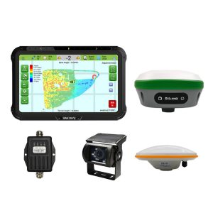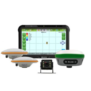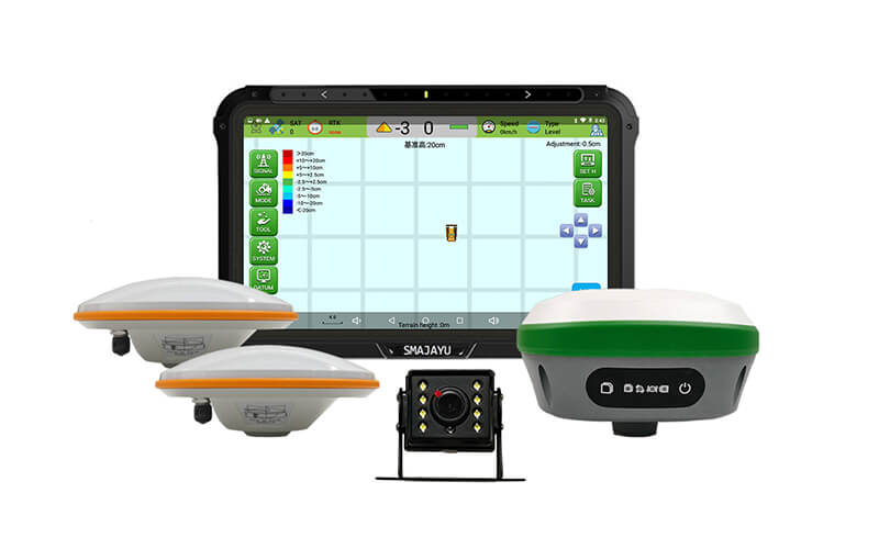
Leveling System
- JYL20 GNSS land leveling systems is an accurate levelling system with high precision, high performance and visual operation map.
- Using the JYB20 bulldozer guidance control system, the height of the current blade can be obtained in real time through the positioning antenna installed on the bulldozer blade. The display terminal can guide the operator to control the lifting and lowering through comprehensive calculation of the height difference between the display and the reference plane, and improve the efficiency of the whole operation.