


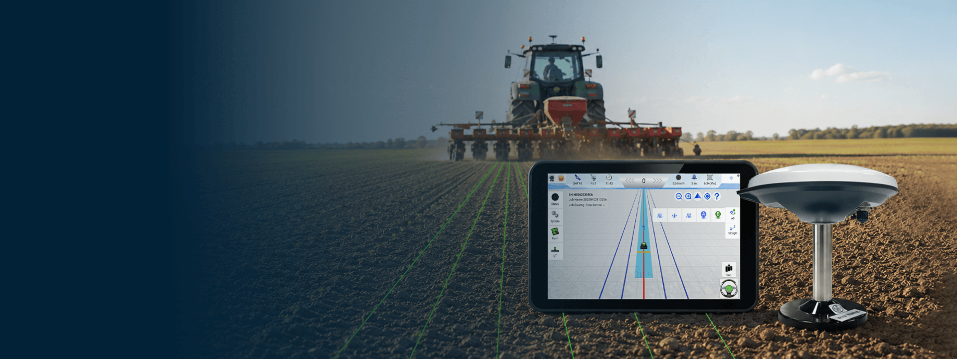
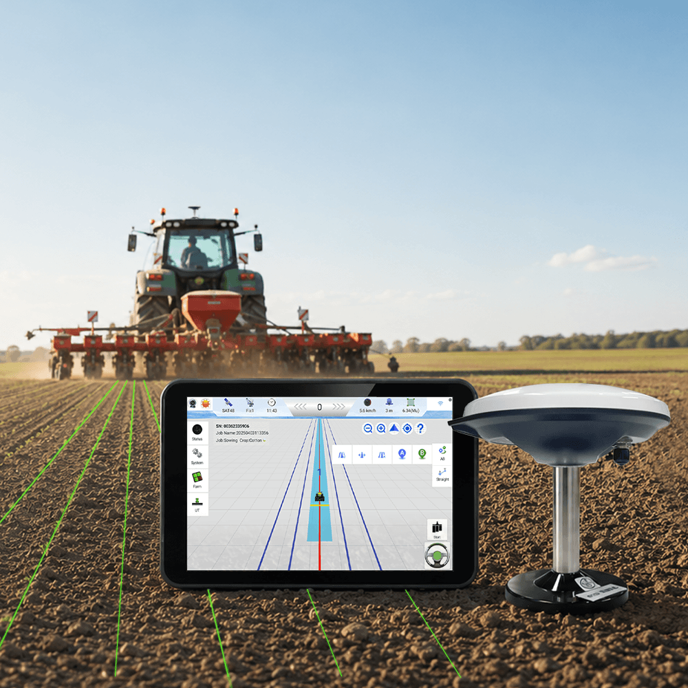

The traditional sowing and harvesting work has low labor efficiency and serious loss . Using SMAJAYU navigation system equipment can greatly improve the operation efficiency, and ensure the operation quality. Maximize crop yields and enhance overall farm productivity.
Focus On Good, Agricultural Systems
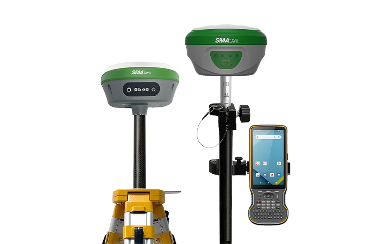
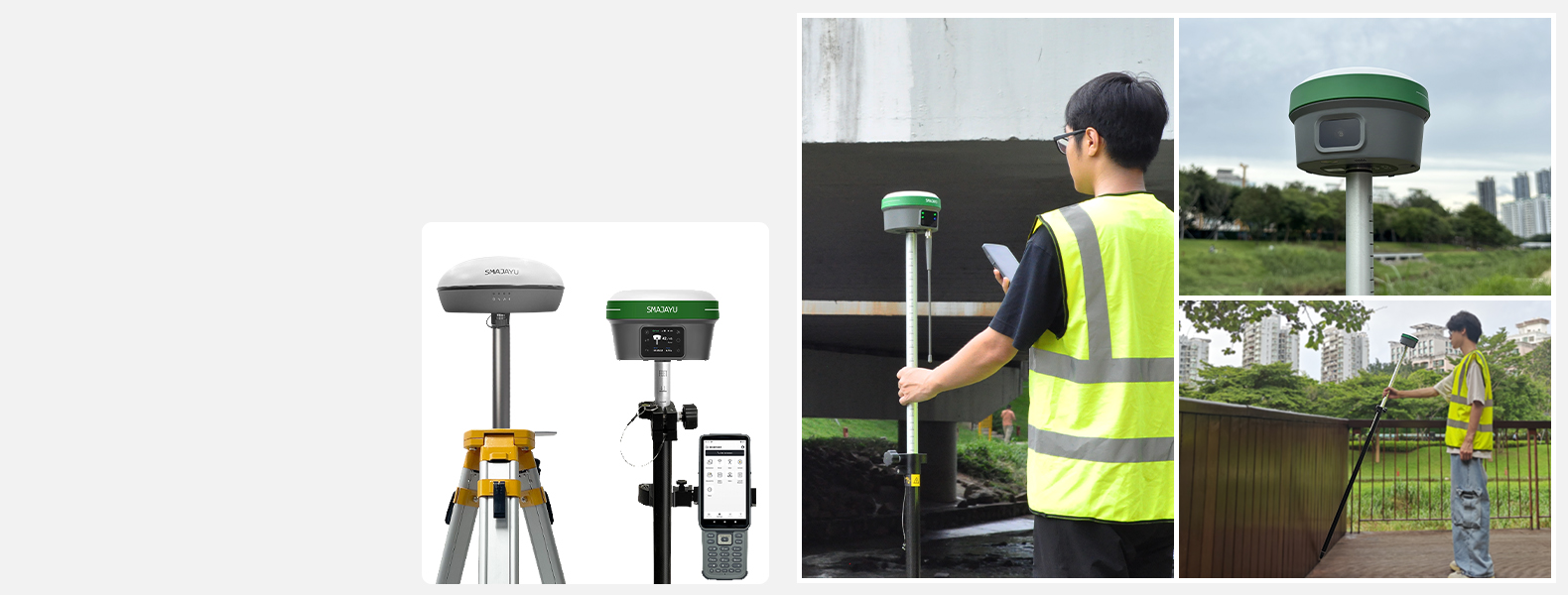
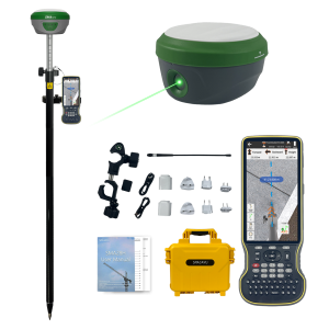
SAM26 PRO Rover+Base
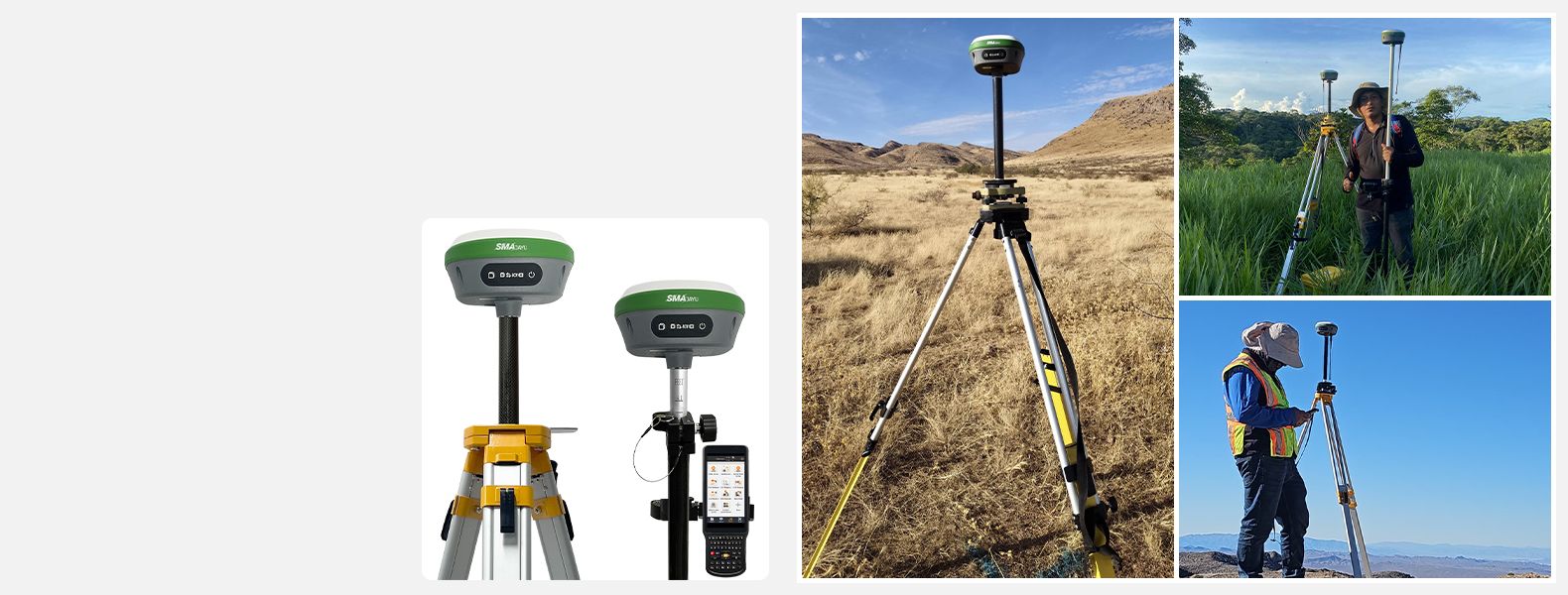
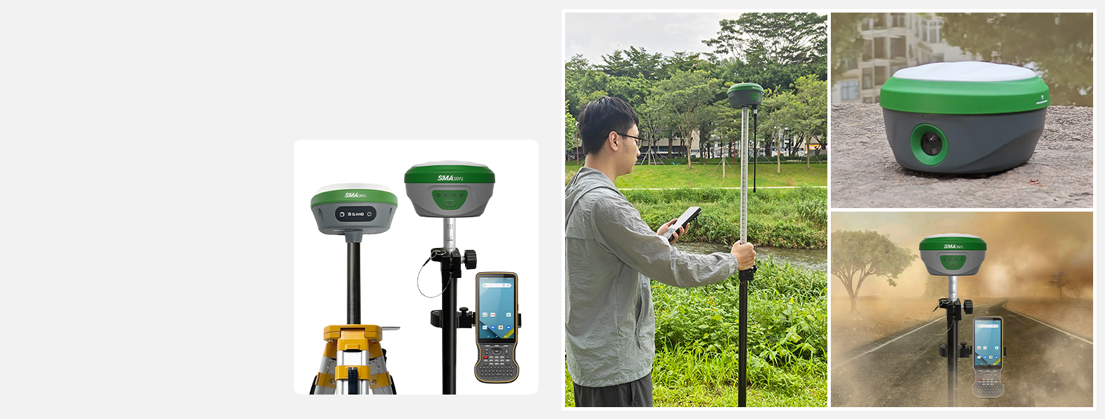
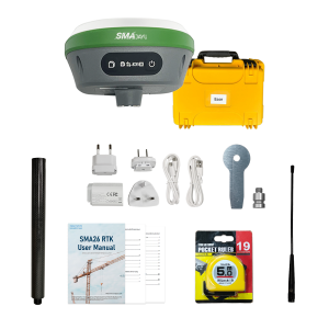
SMA60AR Rover + SMA20 PRO Base
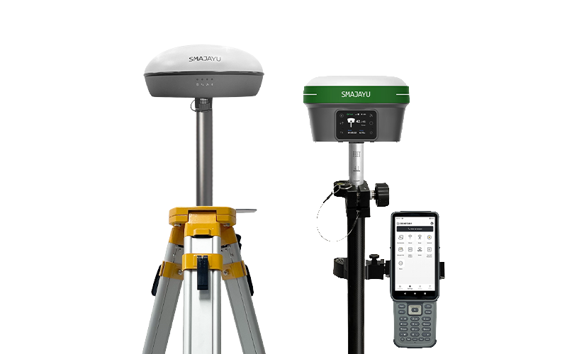
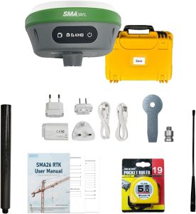
SMA28H Rover + SMA26 PRO Base
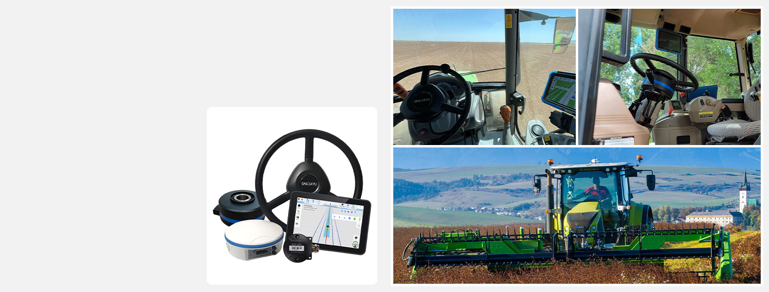
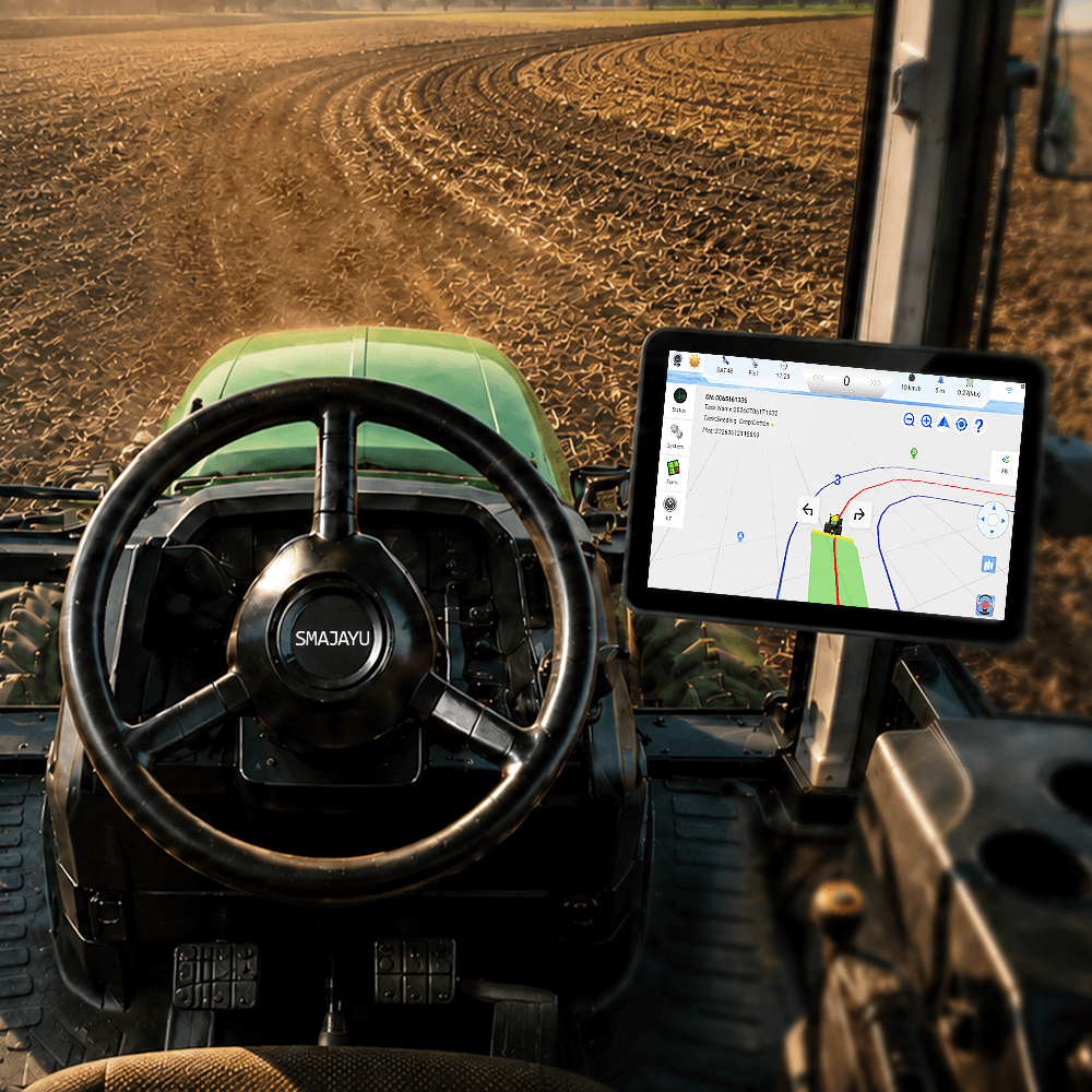
JY305 Tractor GPS Auto Steer System

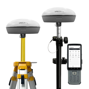
RTK mobile station/RTK base station
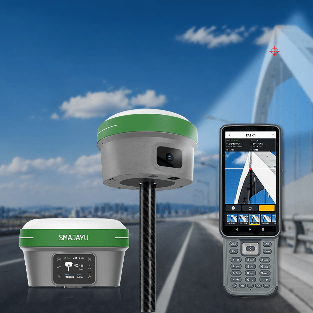
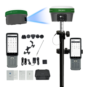
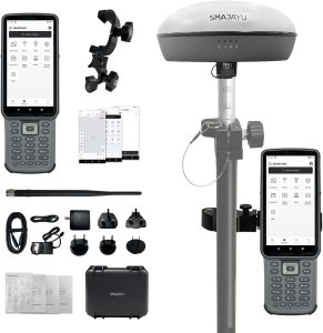
SMAJAYU GNSS Receiver
- RTK mobile station/RTK base station
- Built-in inertial navigation module, fast calibration
- Built-in transceiver integrated radio module


-300x300.png)


