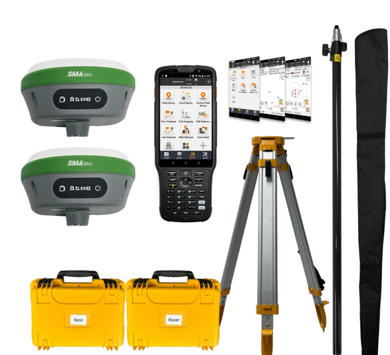
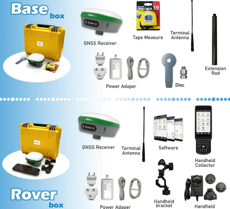
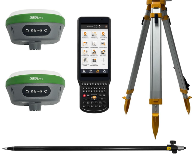
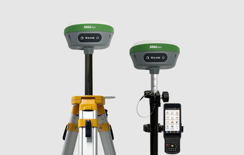
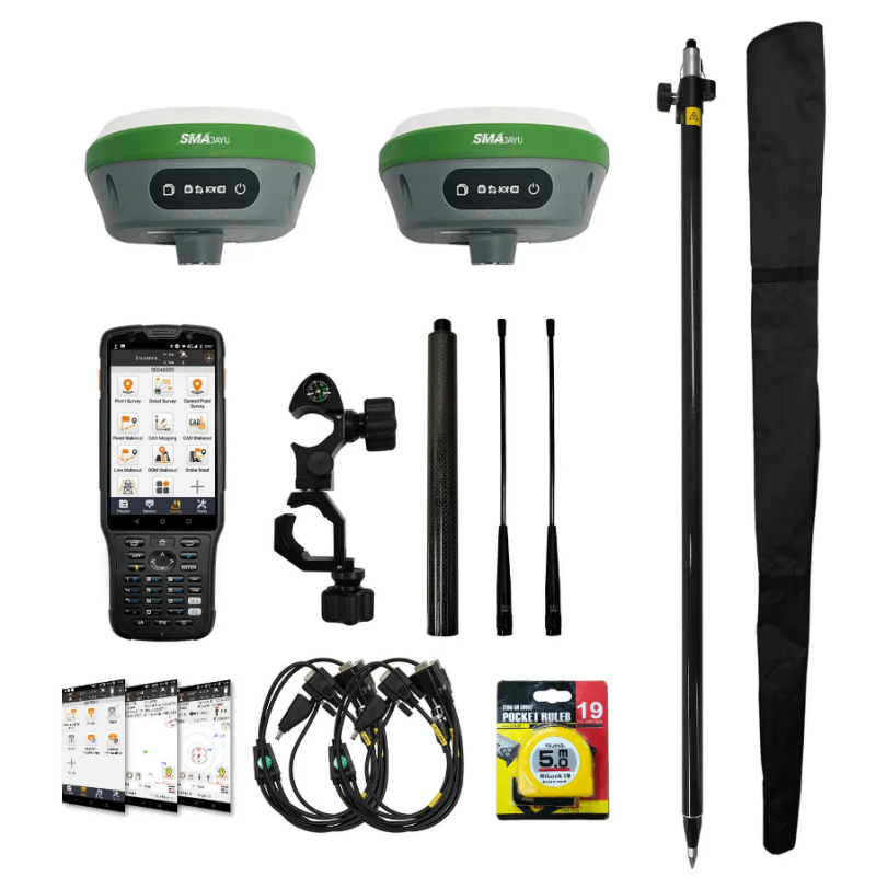
Survey Equipment Services: A Cost-Effective Solution for Your Next Project
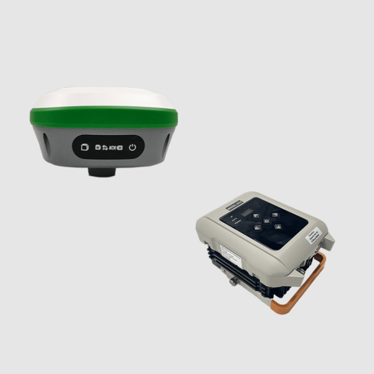
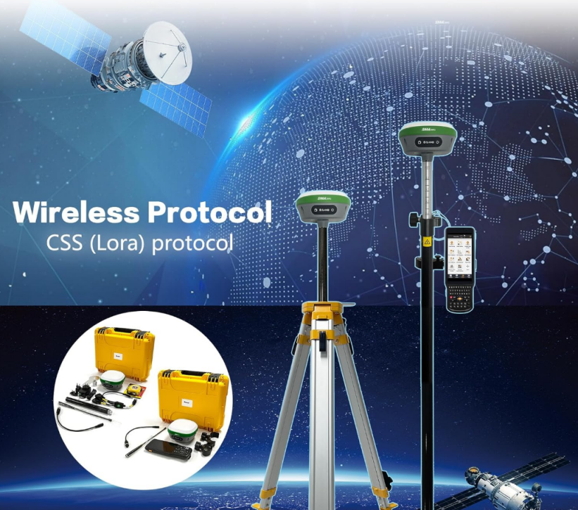
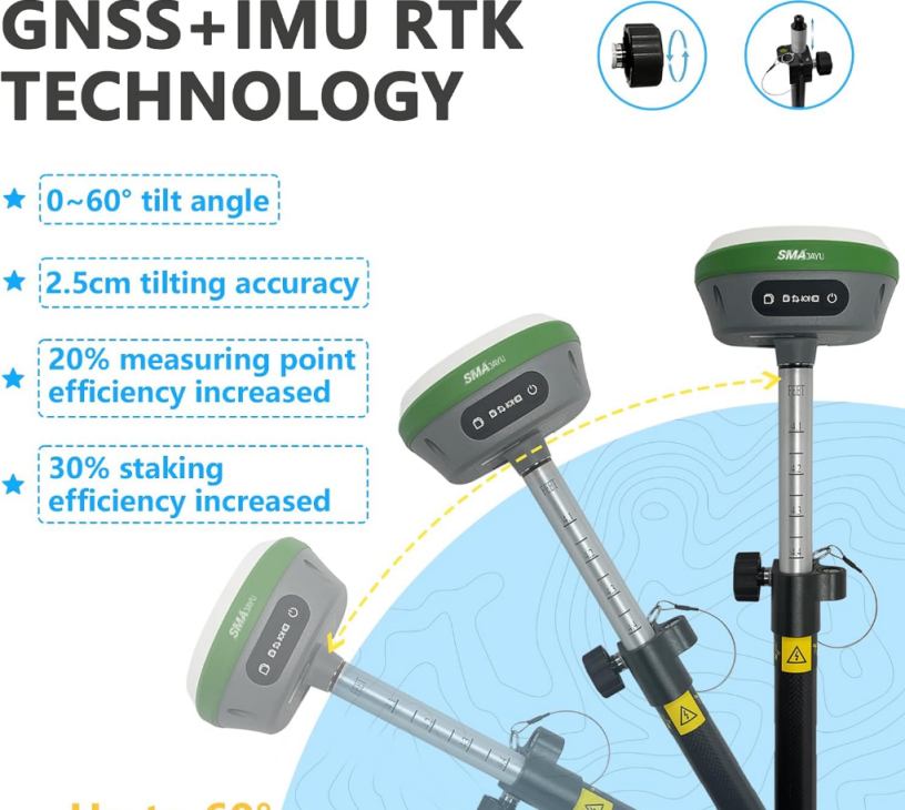
Are you striving to strike the ideal equilibrium between cutting-edge technological innovations and cost-efficiency for your upcoming surveying project? In light of the swift and constant advancements in both GNSS and RTK technologies, the use of top-tier, high-performance surveying equipment has become increasingly indispensable. Survey equipment services have emerged as a revolutionary solution by offering ... Read more