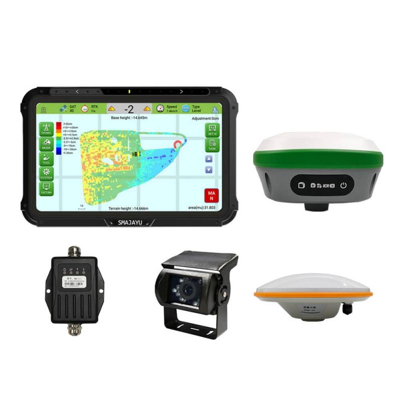
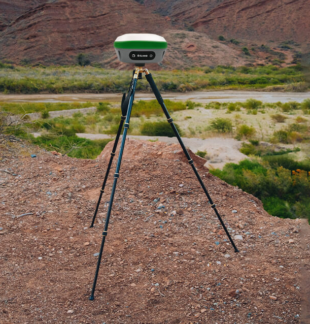
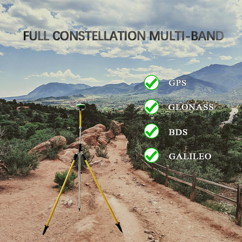
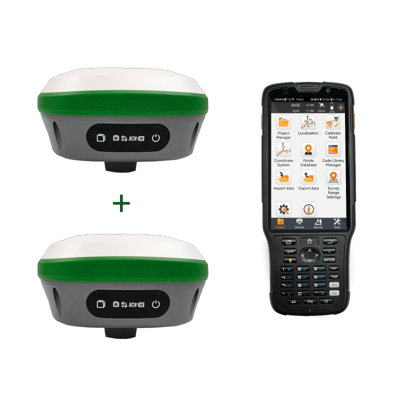
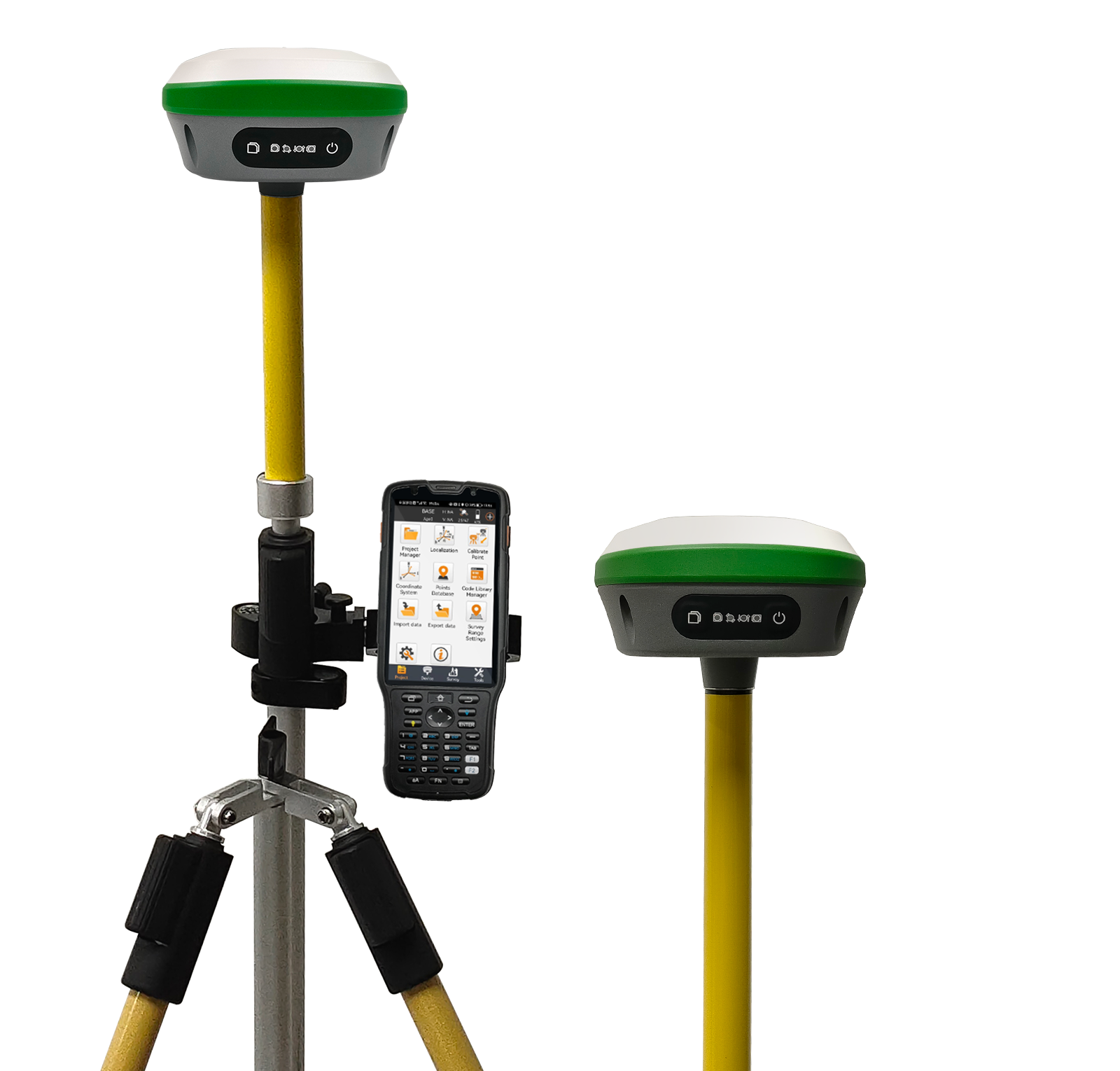
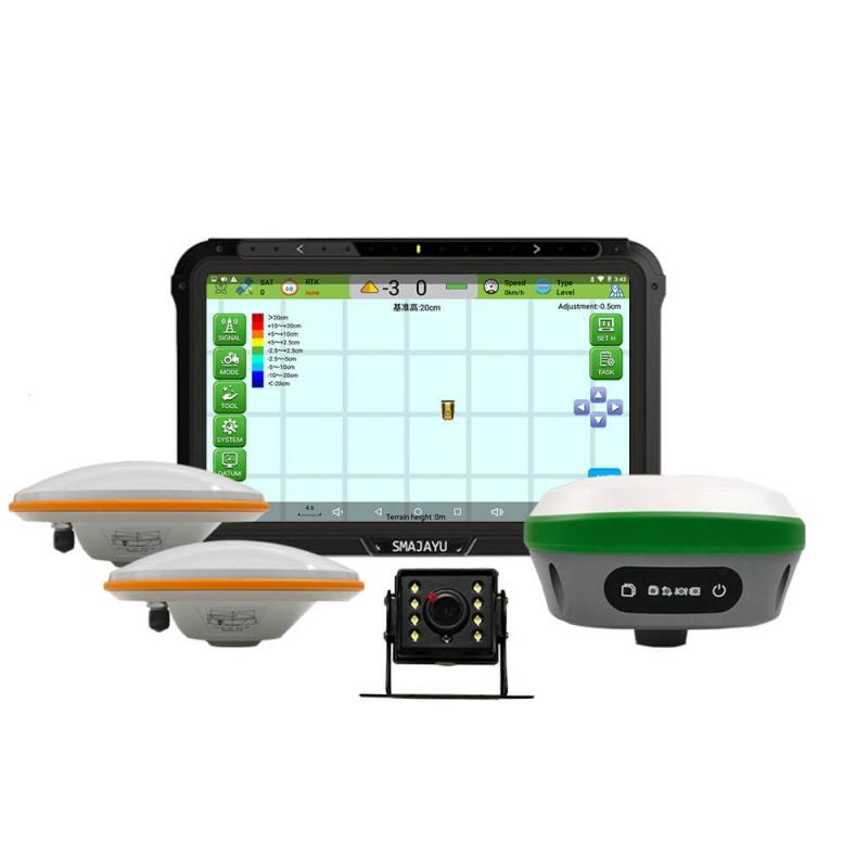
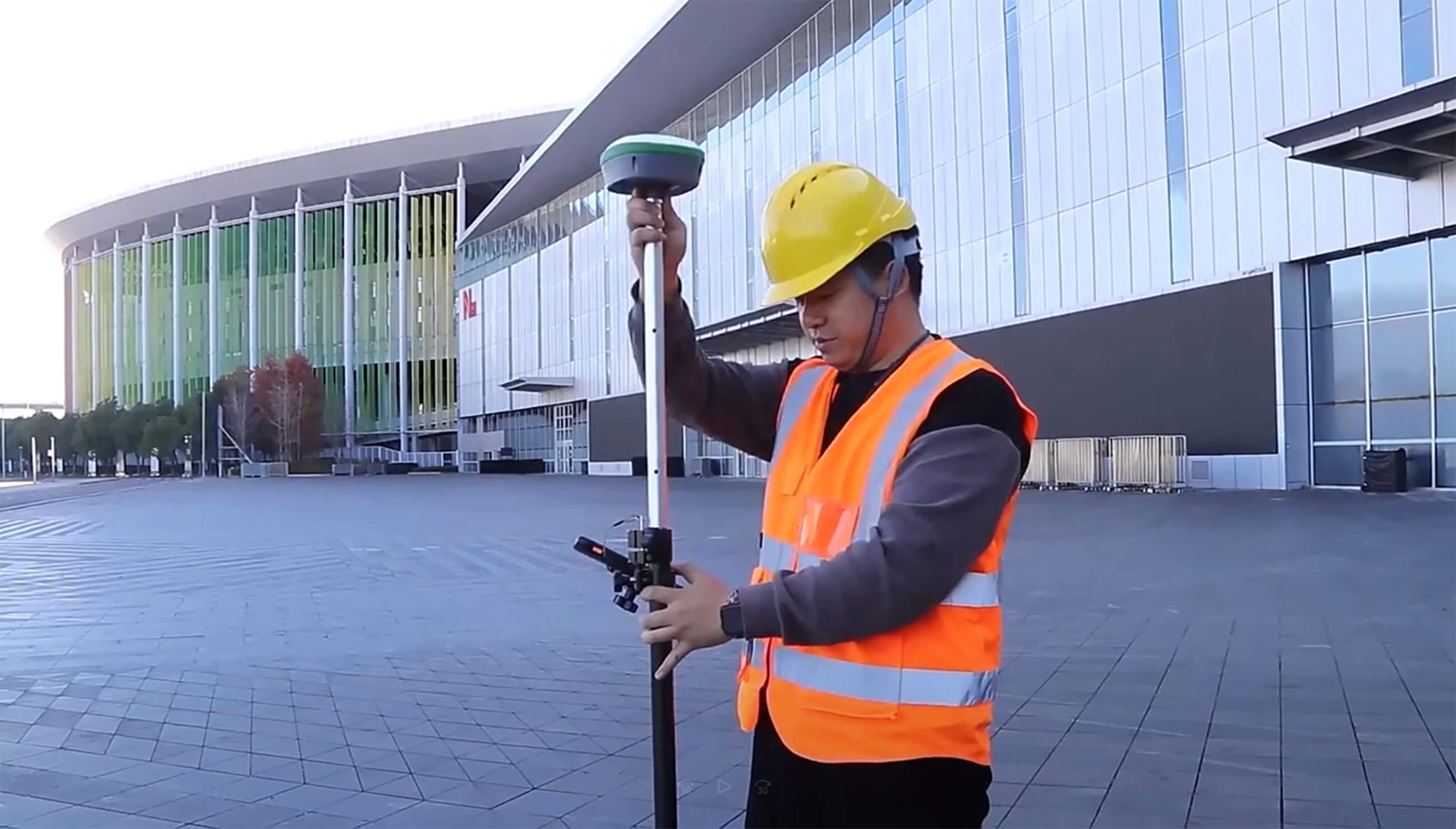
RTK GPS Topography Surveying: Modernizing Surveying Practices
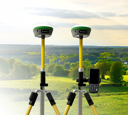
Technological advancements in land surveying have continually reshaped how professionals collect accurate data about the Earth's surface. Among these innovations, Real-Time Kinematic (RTK) Global Positioning System (GPS) technology has emerged as a game-changer. RTK GPS Topography Surveying is revolutionizing the field, offering precision, efficiency, and versatility that were previously modernized. This article will explore how RTK ... Read more