

In the world of land development, precision is paramount. Whether you’re constructing a towering skyscraper in a bustling metropolis or crafting a serene residential community in a quiet suburb, the success of your project hinges on accurate measurements and data. Real-Time Kinematic (RTK) Topografia, a cutting-edge geospatial technology, has emerged as a game-changer in land development. This article explores RTK Topografia and its benefits.
Understanding RTK Topografia:
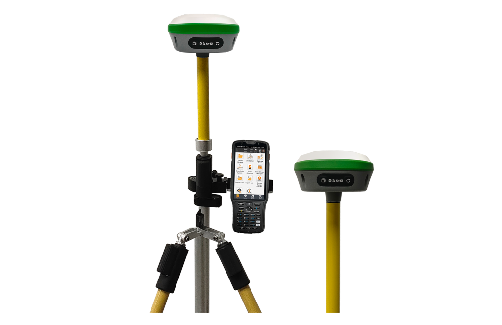
RTK Topografia is a precise satellite-based positioning system that enables real-time, centimeter-level accuracy in determining the coordinates of points on the Earth’s surface. It relies on a network of reference stations and a GPS receiver, communicating via radio signals. These signals correct for atmospheric and satellite orbit errors, delivering highly accurate position data.
How does RTK Topografia differ from traditional surveying methods?
RTK Topografia differs from traditional surveying methods in collecting highly accurate spatial data. While traditional surveying often relies on manual measurements and theodolites, RTK Topografia utilizes satellite-based Global Navigation Satellite Systems (GNSS) with real-time corrections from a reference station. This real-time data correction allows for centimeter-level accuracy in positioning, eliminating the need for extensive ground control points and significantly reducing surveying time. Additionally, RTK Topografia offers continuous, real-time monitoring capabilities, making it an ideal choice for dynamic construction projects and land development.
Benefits of RTK Topografia:
- Accurate Surveys for Informed Decision-Making:
Accurate surveys form the foundation of any land development project. RTK Topografia revolutionizes the surveying process by providing surveyors with precise, real-time data, eliminating the need for lengthy post-processing. This rapid data acquisition translates to significant time and cost savings. Furthermore, the centimeter-level accuracy of RTK Topografia ensures that developers and planners base their decisions on reliable information, reducing the risk of costly errors during construction.
- Minimizing Land Disputes and Boundary Issues:
Land development often involves complex property boundaries and legal considerations. RTK Topografia simplifies the task of restricting land boundaries with precision. Providing clear, accurate data minimizes disputes between property owners and reduces the potential for legal conflicts. Additionally, developers can confidently adhere to zoning regulations and property restrictions, avoiding costly setbacks and legal entanglements.
- Optimizing Site Design and Planning:
Efficient land development hinges on thoughtful site design and planning. RTK Topografia empowers architects and engineers to create optimized layouts by accurately representing the topography. This technology identifies potential challenges early in the planning process, such as drainage issues or elevation variations. Consequently, developers can design cost-effective solutions and maximize land usage while minimizing environmental impact.
- Streamlining Construction Processes:
Once the planning phase is complete, RTK Topografia will play a pivotal role in construction. It ensures that structures are built according to precise specifications, eliminating the need for costly rework. Additionally, real-time monitoring of construction equipment and machinery using RTK Topografia enhances safety by preventing accidental collisions and ensuring compliance with design tolerances.
- Monitoring Environmental Impact:
Land development projects must increasingly consider their environmental impact. RTK Topografia provides the tools necessary to monitor and minimize this impact. Developers can effectively implement erosion control measures by accurately measuring land elevation and contour changes. Furthermore, precise monitoring of construction activities helps prevent damage to natural habitats and sensitive ecosystems, promoting responsible development.
- Enhancing Infrastructure Development:
Infrastructure development is often intertwined with land development projects. Roads, utilities, and transportation networks are vital components of any community. RTK Topografia aids in precisely planning and constructing these infrastructures, ensuring they are built to last. Accurate alignment and grade control are critical for road construction, and RTK Topografia technology enables engineers to easily achieve these objectives.
- Reducing Construction Costs:
Cost overruns can plague land development projects and erode profitability. RTK Topografia contributes to cost control by minimizing the likelihood of errors and rework. Its real-time monitoring capabilities allow project managers to react swiftly to deviations from the plan, preventing issues from escalating into costly problems. Additionally, accurate measurements reduce the need for excessive materials, lowering construction costs.
- Enabling Data-Driven Decision-Making:
In the modern era, data is king. RTK Topografia provides a wealth of data that can inform decision-making throughout the project’s lifecycle. From initial planning to ongoing monitoring, the data collected can be used to assess progress, make adjustments, and optimize processes. This data-driven approach empowers developers to adapt to changing circumstances, ensuring project success in dynamic environments.
- Improving Safety Measures:
Safety is paramount in any construction project. RTK Topografia enhances safety by tracking equipment and personnel on the construction site. This information allows for the immediate identification of potential hazards and the implementation of safety measures to mitigate risks. In emergencies, such as accidents or natural disasters, RTK Topografia can also assist in locating and rescuing individuals quickly.
- Enhancing Quality Control:
Quality control is crucial to the long-term viability of land development projects. RTK Topografia aids in maintaining high-quality standards by ensuring that construction aligns precisely with design specifications. Any deviations from the plan are immediately detected and can be addressed promptly, preventing issues from compromising the project’s quality.
- Future Potential and Sustainability:
The benefits of RTK Topografia in land development projects are already substantial, but the technology’s potential continues to grow. As sustainability becomes increasingly important, RTK Topografia can play a pivotal role in designing eco-friendly developments. Accurate elevation data can inform decisions related to water management, renewable energy installations, and green infrastructure, contributing to a more sustainable future.
Conclusion:
Real-Time Kinematic (RTK) Topografia has ushered in a new era of precision and efficiency in land development projects. As technology advances, its potential to further revolutionize the industry is virtually limitless. Future land development projects will undoubtedly rely on RTK Topografia to create thriving, well-planned communities that balance progress with environmental responsibility. SMAJAYU, as a pioneer in adopting RTK Topografia, exemplifies the potential of this technology to revolutionize land development. Our commitment to precision, innovation, and knowledge sharing has earned them a well-deserved reputation. As land development continues to evolve, RTK Topografia, with companies like us leading the way, is poised to shape the industry’s future.
