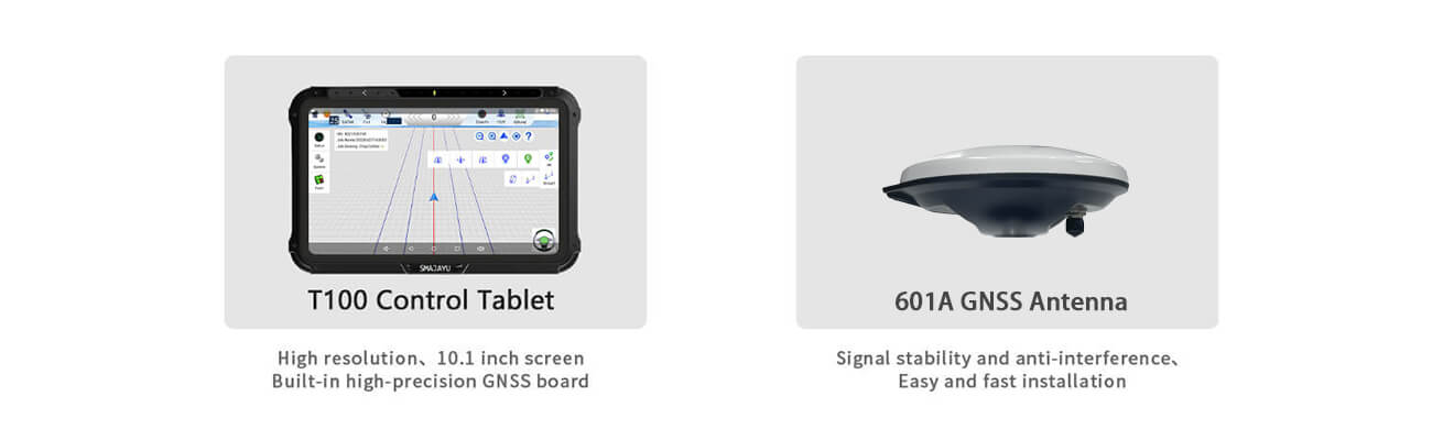
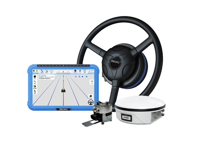
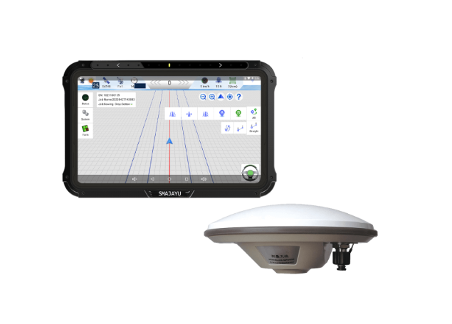
The Game-Changing Technology: GPS for Construction Survey and Layout

What does a GPS signify for construction survey and layout? To precisely identify and mark certain points, lines, and limits on a building site, a GPS (Global Positioning System) for construction survey and layout is used. This technology may precisely determine building corners, excavation bounds, foundation points, and infrastructure alignments by construction specialists like surveyors ... Read more