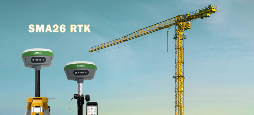
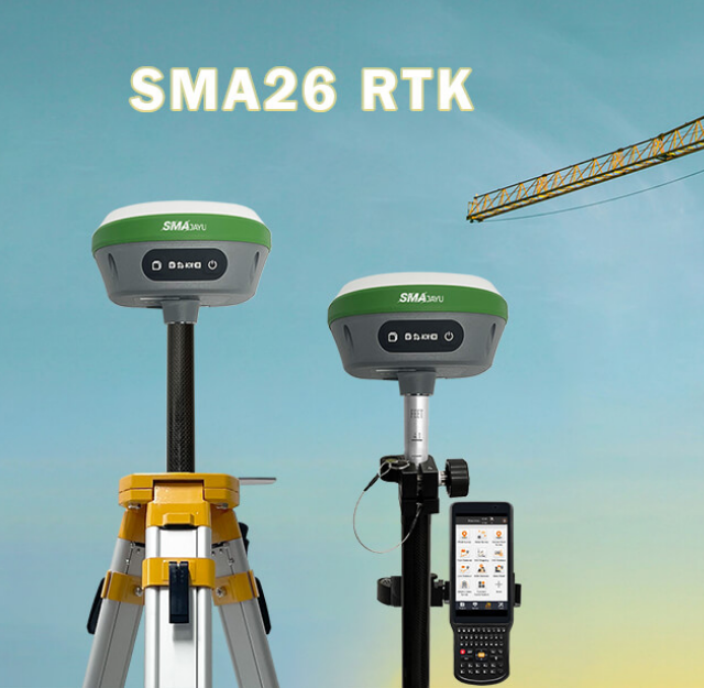
SMA26 RTK+Tripod+Pole: Ultimate Surveying Solution

SMA26 RTK+Tripod+Pole

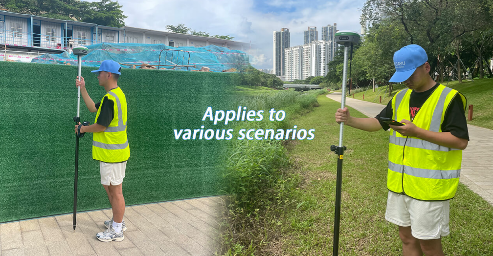
Have you ever wondered what makes professional surveying equipment so accurate and efficient? Imagine being able to carry out complex construction or land mapping tasks with incredible precision, all while working in harsh outdoor conditions. The SMA26 RTK+Tripod+Pole is here to make that a reality, offering unparalleled accuracy and advanced features for professional users. In this ... Read more

Construction and Geodesy: Building the Future with Precision

Construction and Geodesy

Introduction: Why Should We Care About Construction and Geodesy? Have you ever wondered how large construction projects—such as skyscrapers, bridges, and entire city districts—are built with such incredible accuracy? Or how surveyors are able to precisely map the curves of our planet? The answer lies in the combined forces of Construction and Geodesy. This combination ... Read more

Future of Hydraulic Survey: Market Trends, Project Needs & Solutions

Hydraulic survey

Have You Ever Wondered How We Truly Understand Water Systems? In a world where natural resources are as vital as ever, understanding water flow, river systems, and underground aquifers is a challenge that requires sophisticated tools and accurate data. This is where hydraulic surveys come into play. These surveys are pivotal for urban planning, agriculture, ... Read more

Maximizing Efficiency with GNSS RTK Base Stations in Precision Farming

GNSS RTK Base Stations

What is GNSS RTK and Why Does it Matter in Agriculture? Precision farming has revolutionized how agriculture operates, and GNSS (Global Navigation Satellite System) RTK (Real-Time Kinematic) technology is at the heart of this transformation. For those unfamiliar with the technology, GNSS RTK base stations enable farmers to achieve centimeter-level accuracy in positioning, which is critical ... Read more

Land Engineering & Surveying for Various Projects: A Growing Field

land engineering & surveying

Have you ever wondered how engineers ensure the accuracy of land measurements in large construction projects, or how they can achieve precision even in challenging terrains? This is where Land Engineering & Surveying come into play—a field that is growing in demand and scope due to advancements in technology and the rising complexity of modern ... Read more

5 Top  Features to Consider When Buying GPS Surveying Equipment

GPS surveying equipment

Imagine the scenario where you are assigned the task of conducting a survey on an expansive construction site or required to map out a highly intricate and uneven landscape. In such a context, precision becomes not just important but absolutely essential, as even the smallest mistake could lead to significant and expensive errors. Now, what ... Read more

How to Set Up and Calibrate Your RTK GNSS Receiver for Optimal Performance

RTK GNSS Receiver

In today's fast-paced technological world, precision has become more important than ever. From land surveying to agriculture and construction, businesses and professionals rely heavily on accurate data for decision-making. Have you ever wondered how surveyors, farmers, and engineers achieve such exact measurements? The answer lies in the power of RTK GNSS receivers, which offer centimeter-level ... Read more

What is the difference of PPK and RTK?

What is the difference of PPK and RTK

In today’s rapidly evolving landscape of geospatial technology, where the need for accurate data is becoming increasingly paramount, precision takes center stage. If you find yourself working in areas such as surveying, construction, precision agriculture, or any field where accurate positioning is a non-negotiable requirement, chances are you’ve come across the terms PPK (Post-Processed Kinematic) ... Read more