

In modern construction, every inch of elevation matters. Whether you’re leveling a runway, a stadium foundation, or a highway base, traditional methods like visual estimation or stake marking often lead to inefficiencies, rework, and operator fatigue. That’s why SMAJAYU is proud to introduce the JYB20 Bulldozer Leveling Guidance System – a high-precision, intelligent solution that transforms how bulldozer operators work.
What Is the JYB20 Leveling Guidance System?
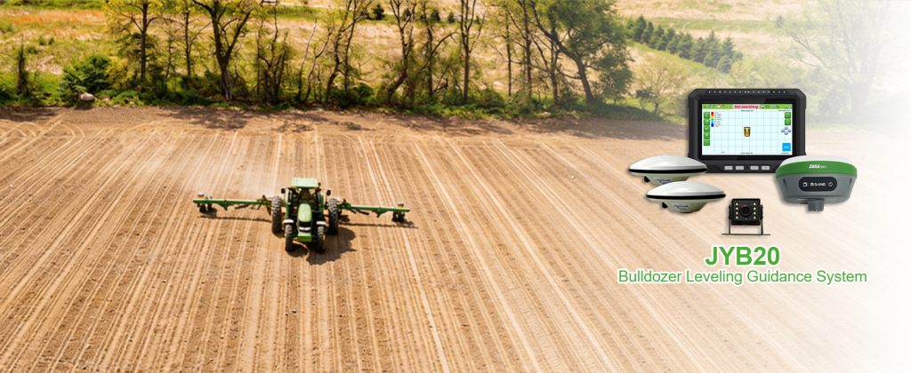
The JYB20 is a real‑time, satellite‑based guidance system designed specifically for bulldozer blade control. By mounting a high‑precision GNSS antenna on the blade, the system continuously calculates the blade’s elevation relative to a digital reference surface. The results are shown on a rugged 10.1‑inch control tablet inside the cab, giving the operator instant visual feedback on how much to raise or lower the blade.
This eliminates the need for survey stakes and repeated manual checks. The result? Faster completion, reduced material waste, and consistently accurate grading – even for large‑scale earthmoving projects.
Key Features That Set the JYB20 Apart
✅ Multi‑constellation, multi‑frequency GNSS engine
The JYB20 supports GPS, BDS, GLONASS, Galileo, and QZSS – with 1408 channels based on the Nebulas IV chipset. RTK positioning achieves horizontal accuracy of 0.8 cm + 1 ppm and vertical accuracy of 1.5 cm + 1 ppm. That’s survey‑grade performance on a bulldozer.
✅ Flexible guidance modes
Supports both single‑antenna and dual‑antenna setups, adapting to different machine types and working conditions. Dual‑antenna configurations also provide roll accuracy of 0.2° per 1 m baseline – ideal for cross‑slope control.
✅ Intelligent tablet – T101 Pro
The included T101 Pro control tablet runs Android 12 on an MT8768 CPU, with 2 GB RAM + 32 GB storage (expandable up to 64 GB via T‑Flash). Its 1280×800 capacitive touchscreen is sunlight‑readable and glove‑friendly. Multiple I/O ports (RS232, RS485, CAN, USB, DI/DO) allow easy integration with hydraulic control systems for full automation.
✅ Visual trajectory & productivity tracking
Already‑processed areas are displayed as gradient‑colored trajectory maps on the tablet. The system also provides real‑time statistics on work area coverage and data transmission – perfect for progress reporting and fleet management.
✅ Rugged, all‑weather design
Operating temperature: -20°C to +60°C for the tablet; the GNSS receiver and antenna work from -45°C up to +85°C. IP67 protection and 2 m drop resistance ensure reliable performance on the toughest job sites.
Why Choose SMAJAYU?
SMAJAYU combines years of GNSS expertise with a deep understanding of construction workflows. The JYB20 is not just a positioning tool – it’s a complete guidance ecosystem that lowers operator skill requirements, reduces fatigue, and increases daily square meterage. With automatic control options, you can move from manual stake‑guided grading to hands‑free, centimeter‑level precision.
Ready to Upgrade Your Bulldozer Operations?
Contact SMAJAYU today to request a quote, a live demo, or technical documentation for the JYB20 Bulldozer Leveling Guidance System. Let’s build smarter – one blade pass at a time.
