

What is meant by a GPS rover?
- The cutting-edge innovation in the surveying sector is represented using RTK GPS rover technology. This gadget uses a real-time kinematic (RTK) GPS to quickly and precisely locate measurement and reference sites. When the survey is complete, RTK GPS survey equipment like the SMAJAYU does not require processing.
- It enables immediate field reaction and provides data on accuracy and quality testing without the need to study the survey or go back to the location to redo it. Surveyors can utilize this kind of surveying to do level 3 and level 4 surveys simultaneously, which is advantageous.
- No matter where you are, GPS Rover can assist you in locating your way around. It is portable, light, and simple to operate. It utilizes GPS to locate your precise location and provide precise driving instructions. You may quickly plan your journey and follow the directions with GPS Rover.
- Surveying, mapping, and navigation duties may be performed more accurately because of GPS rover technology. Surveying, mapping, and navigation operations may be performed more accurately because of the very adaptable nature of GPS rover technology.
How do RTK rovers use GPS?
- For real-time surveys, RTK GPS survey equipment is used with either a single or dual frequency, although the L1 carrier phase is always used to ensure the survey’s success. This suggests that RTK surveys can only be conducted within a radius of around 10 kilometers (km) from the base due to the frequency capabilities.
- On the other side, there are times when using the whole range for the survey makes it necessary to go shorter distances to maintain a 2-centimeter accuracy level. Although using a GPS can save time and labour, there is no assurance that the results will meet your needs.
- The quantity and position of available satellites on a given day impact how much a surveyor can accomplish while employing RTK GPS technology. Although the requirement to reorganize your calendar to make room for the satellites may appear to be an additional burden, doing so will boost your productivity and performance.
The Advantages of GPS rover:
- Most GPS-based software programmes have a feature that forecasts satellite coverage, which aids surveyors in organizing and planning their work. The process of surveying is now much more effective, accurate, and dependable than in the past due to how these tools were built to make the most of the technology accessible today.
- Apart from not all surveyors having access to RTK GPS rover survey equipment, contractors and landowners who collaborate with surveyors who have may profit from doing so. It strengthens the validity of the survey, reduces the likelihood of issues, and lends the whole situation a more serious and certain appearance. It will be advantageous for the surveyor, the landowner, and the governing body if more contemporary technology is employed in the survey.
- Knowing more about RTK GPS technology and the benefits, it could have for the surveying process should be a top priority for anybody who needs the services of a professional land or construction survey.
The warranty of the GPS rover should be checked to see if it is still effective and how long it will be in effect:
- What makes you want to settle your issue with the manufacturer? High-quality products are frequently built to withstand challenging circumstances. There’s a strong possibility they’ll also include functions that are easy to utilize once you get to know them.
- SMAJAYU provides a two-year warranty. Find out if the warranty’s details are up to date and how long the product is protected by it by looking into the information provided in the warranty. You ought to be much more prepared to make an informed decision on a used item now that you’ve read this.
The Modern RTK Technology Provides a Wide Range of Benefits:
- It is completely compatible with the constellations (receives GPS, GLONASS)
- As a direct result of better tilt survey results using a 9-axis IMU, the output is raised by 25%.
- Conveniences that decrease energy use and save time. It’s quite lightweight.
- It is capable of operating nonstop for a period of time greater than twelve hours. We use modern software and really creative features.
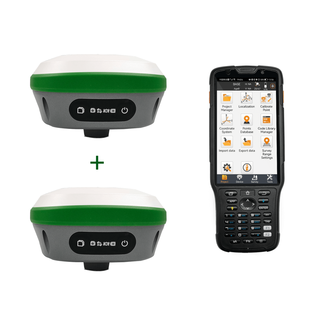
- Integrated large-capacity batteries, large-capacity memory cards, and an integrated multi-functional high-precision device make up the R26 integrated Beidou/GNSS receiver.
- Autonomous development of SMAJAYU’s inertial navigation RTK receiver, integrated Beidou/GNSS full-frequency antenna, and various frequencies.
- Points across the system, Bluetooth, inertial navigation, high-precision positioning and orientation boards, and radio.
The Advantages of GPS rover in agriculture:
The GPS rover (RTK) offers several potential benefits for farmers at the farm size. RTK rover can help farmers by providing more accurate information on field conditions, allowing them to maximize their inputs and increase yields. RTK may be used to map fields, track machines, and monitor crops autonomously.
- More accuracy, farm-scale Real-Time Kinematic (RTK), a GNSS method, enhances precision for agricultural applications. The technology is based on an on-farm base station that corrects GNSS receivers mounted in farm equipment.
- If you are a farmer, you understand the value of efficacy. Real-Time Kinematic GPS systems, which provide farmers with more detailed information on their fields, may increase their productivity. Farmers’ input expenditures may be reduced using these techniques while yields increase. With this technology, farmers may have access to real-time data about their crops, soil, equipment placement, and other things.
Conclusion:
It utilizes GPS to locate your precise location and provide you with precise driving instructions. You may quickly plan your journey and follow the given directions with GPS Rover. SMAJAYU offered changeable attachments in accordance with vehicle standards to increase flexibility and prevent usage of the equipment from being restricted to a particular kind of farm vehicle. Software with a user-friendly interface makes controlling field operations simple.
